Back to catalog
Transport & Infrastructure
SUES

Spatial Urban Energy System

Model ID · SUES

To quantify and measure the impact of urban development activities and interventions on energy demand of cities.Uses a spatial-economic framework, called PECAS. Describes the interaction between: Economic activities, Urban development (governed by zoning), Transportation, and Energy


Spatial Urban Energy System
Model ID
SUES
Initiative
Transport & Infrastructure
Model published
—
Simulator launched
—

More in Transport & Infrastructure

View all →
Aviation demand model
ADM
ADM

Aviation demand model

Transport & Infrastructure

2022Hover for details →
Transport & Infrastructure

Aviation demand model

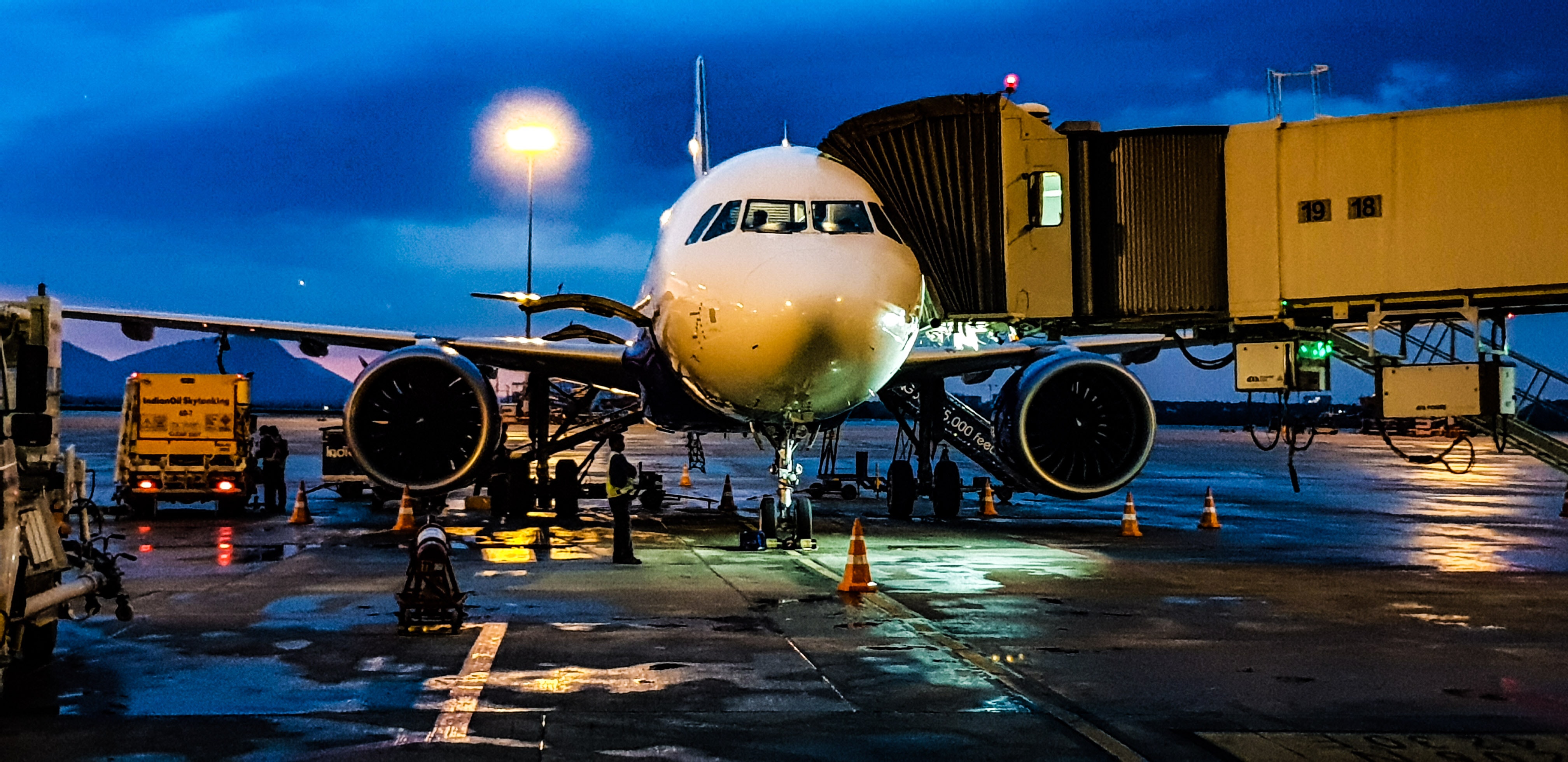
This air transportation model is developed to assess the aviation sector’s current, short, medium, and long-term future performance, considering the year_model_first_published’s future situation, energy challenges, and environmental concerns.

Marine Demand Model
MDM
MDM

Marine Demand Model

Transport & Infrastructure

2023Hover for details →
Transport & Infrastructure

Marine Demand Model

This Energy Decision Model for Maritime has been designed to understand the dynamic of cargo handling, and future fuel consumption locally, regionally as well as globally in the shipping industry.

Consumer Vehicle choice model - Electric
CVCE
CVCE

Consumer Vehicle choice model - Electric

Transport & Infrastructure

2016Hover for details →
Transport & Infrastructure

Consumer Vehicle choice model - Electric

This is a vehicle choice model is estimated using a large, random survey sample of new vehicle purchases in China. The estimation results are used to predict plug-in electric vehicles sales if subsidies were eliminated and if subsidies were targeted towards low income consumers.

Transport analysis framework TAF
TAF
TAF

Transport analysis framework TAF

Transport & Infrastructure

2018Hover for details →
Transport & Infrastructure

Transport analysis framework TAF

This model estimates freight transport activity and measures the impact of transport policy measures uses data from satellite imgLinks and nighttime lights. Enables quick estimation of the effects of policy measures and economic changes on transportation activities at a global level.